Wednesday, 9 May 2018

MAY 2018 : TASMANIA : THREE CAPES WALK : Day 2 : Surveyors Hut - Munro Hut : 11 kms - 4.5 kms


Day 2 : Surveyors Hut to Munro Hut : 11 kms : 4.5 hours


Sunrise


We have discovered that self-catering isn’t our forte. We can’t imagine how other groups packed such delicious meals so efficiently in their backpacks.
We had dehydrated packs - some less like cardboard than others!


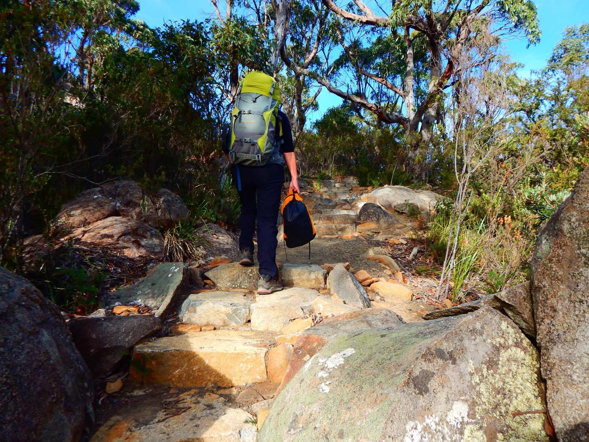
We set off into a eucalyptus forest.


Along the path are markers which can be used as rest or information points.
This one, Punishment to Playground, refers to the Port Arthur convict settlement across the bay.


Who was here? had details of all the animal scats along the path.
These cubes are a true reflection of wombat scats found everywhere.
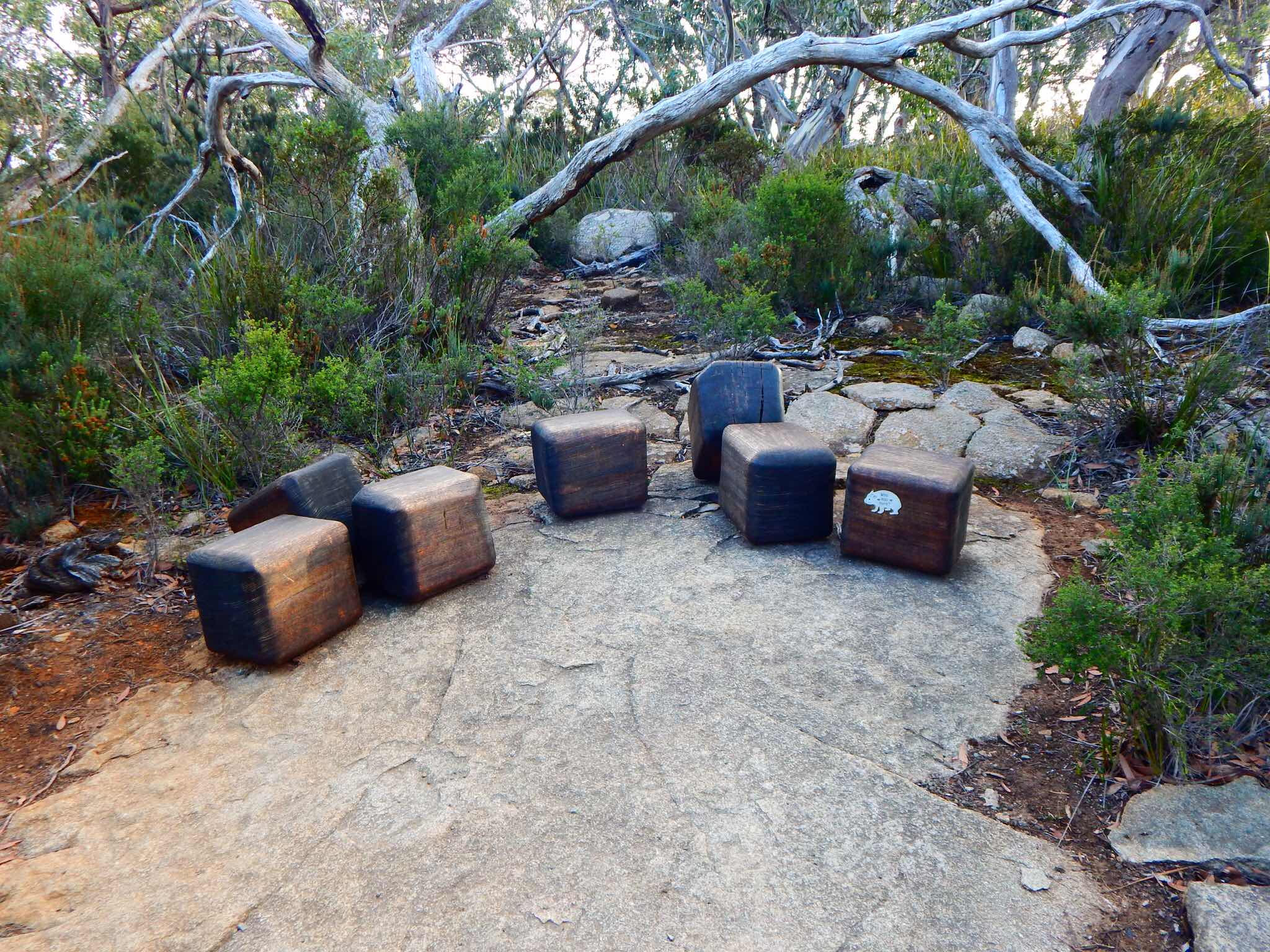

The real thing...


Active black cockatoos across the heathlands.


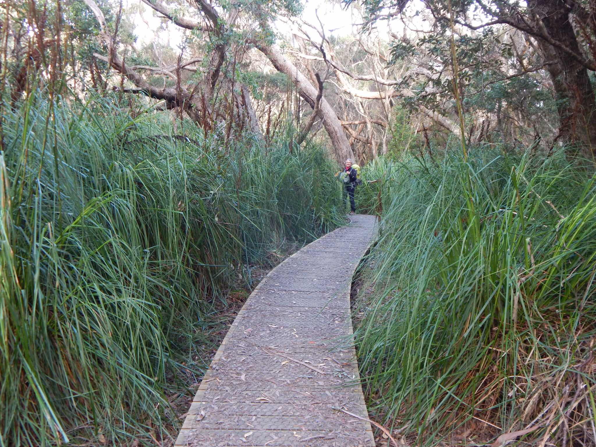
Walking along the board walk in the heath with Arthur’s Peak up ahead.


Common heath


Climbing Arthur’s Peak


Fantastic views along the track... no fencing so we were told to be aware of unpredictable wind gusts.


Views south over Crescent Bay and Mt Brown and the distant rocky towers of Cape Raoul.


Dolerite pillars


A Tasmanian Ground Wren rutting in the leaf litter


Some unusual colours


A green rosella


Walking along the ridge-line there was a cool rainforest section and change of vegetation


Bushmans Bootlace


The low coastal heath of Ellarwey Valley ( Where the ‘ELL ARE WE?)


Love in the Woods - such fabulous sculptures by University of Tasmania designers.


Impressive tall stringybark forest


Moving towards Munro Hut


The viewing platform extended out from Munro Hut, which is perched 242m above Munro Bight.


Munro Hut


And a shower..


Our ranger, Kaely, enthusiastically greets walkers.


M&M

Tuesday, 8 May 2018

MAY 2018 : TASMANIA : THREE CAPES WALK : Day 1 : Denmans Cove - Surveyors Hut - 4kms - 2 hours.

Day 1 : Denmans Cove - Surveyors Hut - 4km - 2 hours


Following the path of thousands of walkers we have booked to experience the newly completed Three Capes Walk (2016). Conveniently it is only an hour and a half from Hobart, and a boat ride across the bay from the historic Port Arthur settlement (1830-1877). It is a four day, three night adventure with excellent huts and facilities for up to 48 self-catering walkers. May was the first opportunity for us to book our places as it was completely booked out until then. We were prepared for a range of weather possibilities as the track is exposed and prone to Antarctic winds and rain. Fortunately, against a wet and windy forecast, we had four days of mild conditions with perfect views of the coast and pleasant walking temperatures, around 21oC. One of the walkers was from the Park Service in Victoria and she said although this walk was rated Moderate by its creators, she would rate it a 4 for the length and ascents/descents, despite being on solid tracks and boardwalks. So some training is needed if you are not particularly fit or experienced.


The ascents and descents


We left from Constitutional Dock on a clear Autumn morning


Pennicott Wilderness Journeys provide a bus to Port Arthur for about $40.


We stopped to enjoy the view of Fortescue Bay, which is the final destination for the 4 days.
Two capes can be seen as well - Cape Pillar and Cape Hauy.


Leaving Port Arthur.


Well prepared for a wet crossing and cruise around the Port.


Huge mudstone cliffs with lots of seabirds, particularly Black-faced Cormorants, native to the area.


Landing at Denmans Cove.


The official beginning of The Three Capes walk.


Immediately we found a pristine environment with small native plants.
Coast pink berry


Silver banksia


 Views across bay to Mount Brown. The mudstone cliffs glowing in the afternoon sun.


We were impressed with the recently created track, safe and sensitive to the surrounding bush land.


Board walks


Purple apple berry


Surveyors Cove with views across to Port Arthur settlement


Shell-shaped fungi


Arriving at Surveyors Hut


The beautifully designed building


Our room - all to ourselves! Each of the huts has the same number of room and beds are pre-assigned.
Normally there is a full complement of 48 walkers but our group numbers only 32, as we are at the end of the season.


Well-equipped kitchens and even a gas barbecue


Toilet block


Sunset


Joel, the ranger at Surveyors Hut, welcomes the group and gives information about the track and details for the next day.


Some friendly family groups, friends, single walkers and couples. This was a family from Toronto.


The kitchen area is heated by a slow combustion stove fed with compressed sawdust pellets.
A friendly atmosphere and excellent start for us.


M&M

Sunday, 3 December 2017

NOVEMBER 2017 - BBC WEDNESDAY WALK - NAMADGI NATIONAL PARK - Waterhole Hut and Lone Pine Homestead Ruins Walk - 3 hour return car journey and 5 hour walk

Waterhole Hut and Lone Pine Homestead Ruins - Southern Namadgi


This walk in the extreme south of the ACT starts on the Bicentennial National Trail on the Yaouk Road west of Shannons Flat where a 2km fire trail walk quickly leads us back into the ACT.  We then start our 9 km anti-clockwise loop via Waterhole Hut (morning tea) to the intersection of the Bulls Flat and Grassy Flat fire trails and lunch just north of there at the Lone Pine Homestead ruins.  The return to the cars is 7.1 km via Grassy Creek Fire Trail.  The walk is longish but gentle, with only minor elevation changes.  About half of the walk is in open grassland and the other half more sheltered.

Although the start is a little further away than usual, the starting point gives us quicker and shorter access to this less walked area.  (BBC notes)


Walking from Yaouk Road


An echichna burrowing to defend itself


The original marker to delineate the ACT and NSW borders.


M